Thermal imagery in glaciology
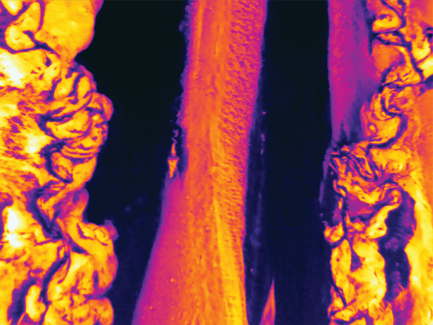 Downward-looking airborne thermal image of Canwell Glacier, Alaska Range.
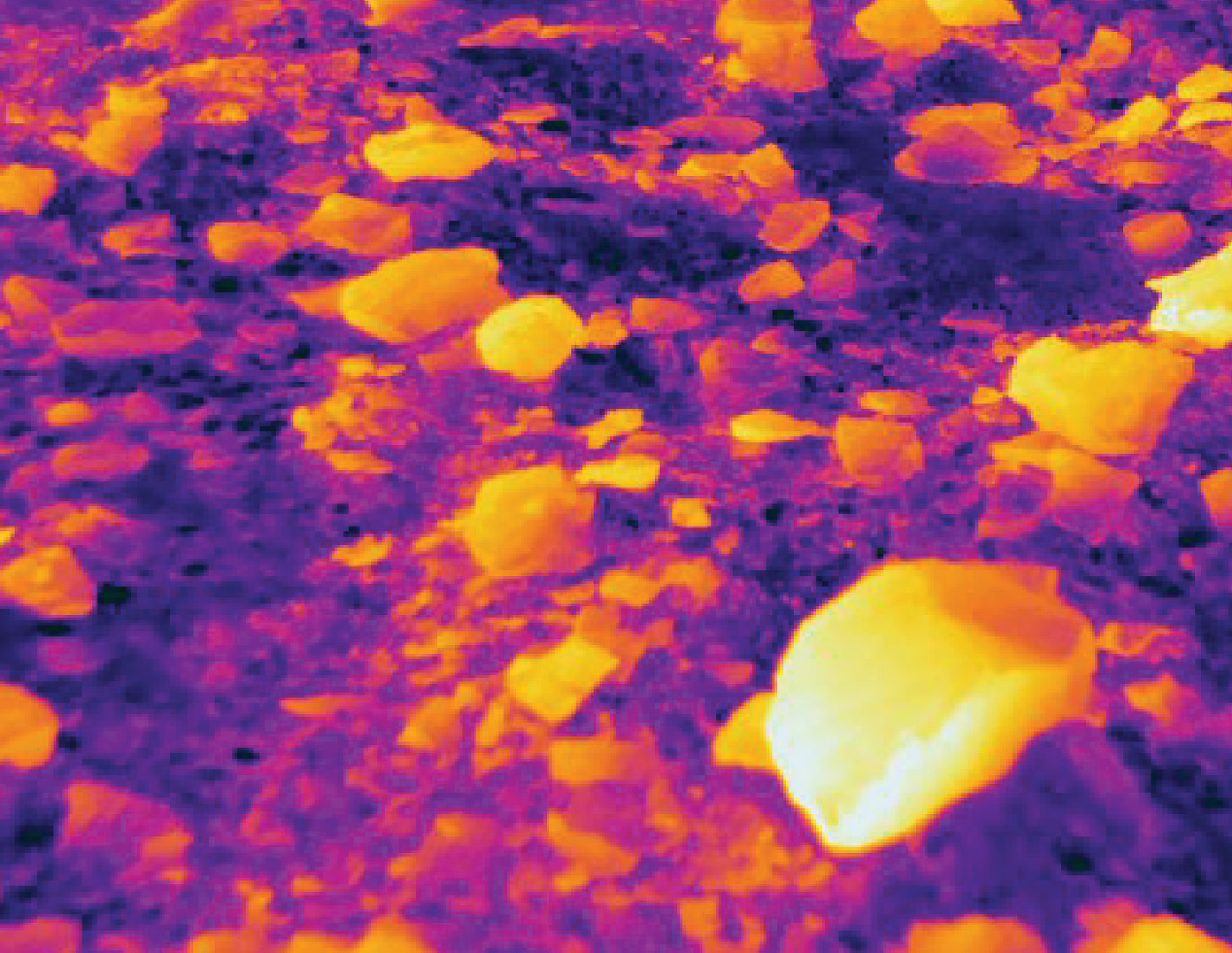
The thermal image below is of fist to silt-sized clasts on an otherwise bare glacier ice surface. This entire image falls within one or two pixels in the above thermal image which is looking straight down from a helicopter with an image width of several hundred meters. High resolution thermal data holds many answers about debris cover but has received limited attention from glaciologists. The 2021 paper referenced below details some uses of thermal data in glaciology.
Sam Herreid
glaciologist, runner, musician, writer
My research interests include rock debris on glaciers, advancing regional to global scale glacier modeling and restructuring the financing of climate science.